Alerts
You have (1) alert(s). Tap to see details.
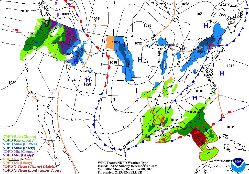
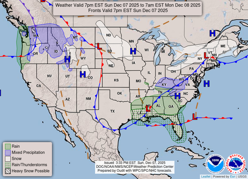
| Dense Fog Advisory issued December 6 at 10:11PM CST until December 7 at 9:00AM CST by NWS Shreveport LA | ||
| NWS Shreveport LA | ||
| Category | Certainty | Severity |
| Met | Likely | Moderate |
| Status | Urgency | Category |
| Actual | Expected | Met |
| Effective | Ends | Expires |
| 12/06/2025 10:11 PM | 12/07/2025 09:00 AM | 12/07/2025 09:00 AM |
* WHAT...Visibility one quarter mile or less in dense fog.

* WHERE...Portions of south central and southwest Arkansas, north
central and northwest Louisiana, southeast Oklahoma, and east and
northeast Texas.

* WHEN...Until 9 AM CST Sunday.

* IMPACTS...Low visibility could make driving conditions hazardous.
|
||
Hourly Forecast
Sun, 07:00 AM
Areas Of FogWinds: 0 mph
Sun, 08:00 AM
Areas Of FogWinds: 5 mph N
Sun, 09:00 AM
Mostly CloudyWinds: 5 mph N
Sun, 10:00 AM
Mostly CloudyWinds: 5 mph N
Sun, 11:00 AM
Partly SunnyWinds: 5 mph N
Sun, 12:00 PM
Partly SunnyWinds: 5 mph N
Sun, 01:00 PM
Partly SunnyWinds: 5 mph N
Sun, 02:00 PM
Partly SunnyWinds: 5 mph N
Sun, 03:00 PM
Partly SunnyWinds: 10 mph N
Sun, 04:00 PM
Mostly SunnyWinds: 10 mph N
Sun, 05:00 PM
Mostly SunnyWinds: 10 mph N
Sun, 06:00 PM
Partly CloudyWinds: 10 mph N
Sun, 07:00 PM
Partly CloudyWinds: 5 mph N
Sun, 08:00 PM
Partly CloudyWinds: 5 mph N
Sun, 09:00 PM
Partly CloudyWinds: 5 mph N
Sun, 10:00 PM
Partly CloudyWinds: 5 mph N
Sun, 11:00 PM
Partly CloudyWinds: 5 mph N
Mon, 12:00 AM
Partly CloudyWinds: 5 mph N
Mon, 01:00 AM
Partly CloudyWinds: 5 mph N
Mon, 02:00 AM
Partly CloudyWinds: 5 mph N
Mon, 03:00 AM
Partly CloudyWinds: 5 mph N
Mon, 04:00 AM
Partly CloudyWinds: 5 mph N
Mon, 05:00 AM
Partly CloudyWinds: 5 mph N
Mon, 06:00 AM
Mostly SunnyWinds: 0 mph
Coastal Waters Forecast
National Weather Service Lake Charles LA
for Lower Atchafalaya River LA to High Island TX out 60 NM including Sabine and Calcasieu Lakes and Vermilion and Cote Blanche Bays.
Coastal waters from the Lower Atchafalaya River LA to High Island TX out 60 nautical miles including Sabine and Calcasieu Lakes and Vermilion and Cote Blanche Bays Seas are provided as a range of the average height of the highest one third of the waves, along with the occasional height of the average highest ten percent of the waves. Showery rainfall can be expected until late today/early Monday when a sharp cold front moves through. Very strong offshore winds will quickly develop Monday morning. A Small Craft Advisory has been issued for all marine zones into mid day Monday. A gradual improvement in wind and sea conditions will take place into Tuesday
Search Results
