Alerts
You have (1) alert(s). Tap to see details.
| Rip Current Statement issued February 26 at 12:33AM EST until February 27 at 3:00AM EST by NWS Melbourne FL | ||
| NWS Melbourne FL | ||
| Category | Certainty | Severity |
| Met | Likely | Moderate |
| Status | Urgency | Category |
| Actual | Expected | Met |
| Effective | Ends | Expires |
| 02/26/2026 12:33 AM | 02/27/2026 03:00 AM | 02/27/2026 03:00 AM |
* WHAT...Dangerous rip currents.

* WHERE...Beaches of Volusia, Brevard, Indian River, Saint Lucie,
and Martin Counties.

* WHEN...Through late tonight.

* IMPACTS...Rip currents can sweep even the best swimmers away
from shore into deeper water.
|
||

Hourly Forecast
Thu, 07:00 AM
SunnyWinds: 5 mph W
Thu, 08:00 AM
SunnyWinds: 5 mph W
Thu, 09:00 AM
SunnyWinds: 5 mph SW
Thu, 10:00 AM
SunnyWinds: 5 mph SSW
Thu, 11:00 AM
SunnyWinds: 5 mph S
Thu, 12:00 PM
SunnyWinds: 5 mph S
Thu, 01:00 PM
SunnyWinds: 5 mph S
Thu, 02:00 PM
SunnyWinds: 10 mph S
Thu, 03:00 PM
SunnyWinds: 10 mph SSE
Thu, 04:00 PM
Mostly SunnyWinds: 15 mph SSE
Thu, 05:00 PM
Mostly SunnyWinds: 10 mph SSE
Thu, 06:00 PM
Mostly ClearWinds: 10 mph SSE
Thu, 07:00 PM
Mostly ClearWinds: 5 mph SSE
Thu, 08:00 PM
Partly CloudyWinds: 10 mph SSE
Thu, 09:00 PM
Partly CloudyWinds: 10 mph SSE
Thu, 10:00 PM
Partly CloudyWinds: 5 mph S
Thu, 11:00 PM
Partly CloudyWinds: 5 mph S
Fri, 12:00 AM
Partly CloudyWinds: 5 mph S
Fri, 01:00 AM
Mostly CloudyWinds: 5 mph SSW
Fri, 02:00 AM
Mostly CloudyWinds: 5 mph SSW
Fri, 03:00 AM
Partly CloudyWinds: 5 mph SSW
Fri, 04:00 AM
Partly CloudyWinds: 5 mph SSW
Fri, 05:00 AM
Mostly CloudyWinds: 5 mph SSW
Fri, 06:00 AM
Partly SunnyWinds: 5 mph SSW
Coastal Waters Forecast for East Central Florida
National Weather Service Melbourne FL
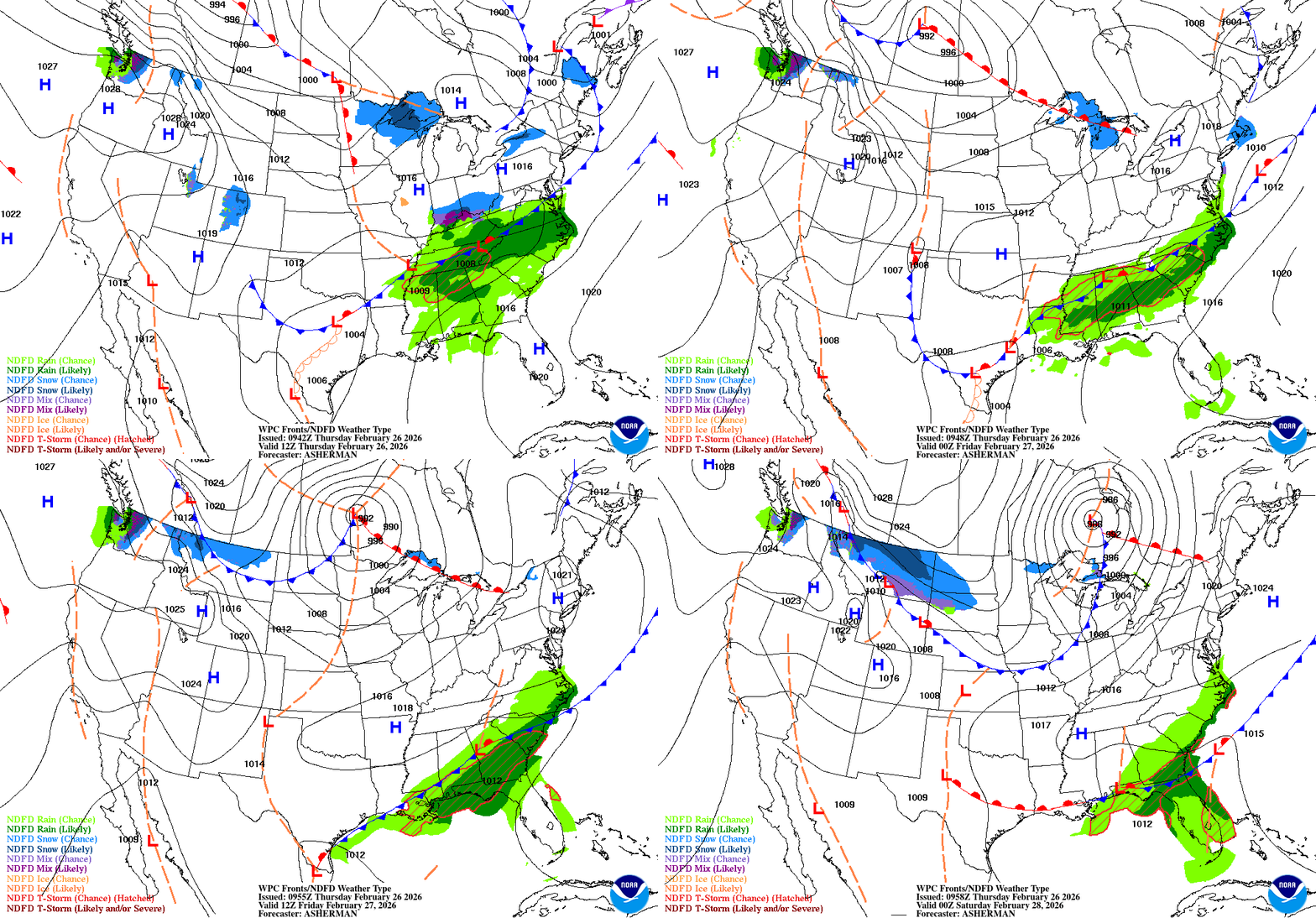
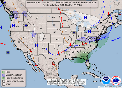
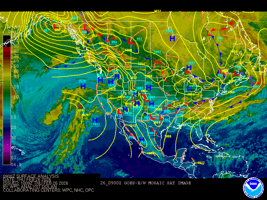
Boating conditions remain generally favorable through late week and into the weekend. High pressure shifts slowly eastward over the western Atlantic ahead of a late week front. Rain and lightning storm chances increase late Friday into Saturday as front approaches and eventually moves through the coastal waters this weekend. Onshore-moving showers then remain possible into early next week.
Atlantic coastal waters from Flagler Beach to Jupiter Inlet out 60 nm. Seas are provided as a range of the average height of the highest one third of the waves, along with the occasional height of the average highest ten percent of the waves. GULF STREAM HAZARDS.None. The approximate location of the west wall of the Gulf Stream based on the Real Time Ocean Forecast System as of Thursday, February 26th, 2026. 41 nautical miles east of Ponce Inlet. 30 nautical miles east of Port Canaveral. 26 nautical miles east of Sebastian Inlet. 15 nautical miles east of Fort Pierce Inlet. 9 nautical miles east of Saint Lucie Inlet.
