Annapolis,
MD
12/08/2025 02:00 PM
33°F
TEMPERATURE
Winds 14 mph NE
Cloudy
Cloudy, with a high near 35. Northeast wind around 14 mph, with gusts as high as 22 mph.
Moonrise
08:56 PM
Moonset
10:51 AM
Sunrise
07:12 AM
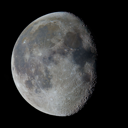
Moon Phase
Waning gibbous
Sunset
04:44 PM
Hourly Forecast
Mon, 02:00 PM
CloudyWinds: 14 mph NE
33°
Mon, 03:00 PM
CloudyWinds: 13 mph NE
32°
Mon, 04:00 PM
CloudyWinds: 13 mph NE
31°
Mon, 05:00 PM
CloudyWinds: 12 mph NE
31°
Mon, 06:00 PM
CloudyWinds: 10 mph NE
30°
Mon, 07:00 PM
CloudyWinds: 8 mph NE
30°
Mon, 08:00 PM
CloudyWinds: 8 mph NE
29°
Mon, 09:00 PM
CloudyWinds: 7 mph NE
27°
Mon, 10:00 PM
CloudyWinds: 7 mph NE
27°
Mon, 11:00 PM
CloudyWinds: 6 mph NE
26°
Tue, 12:00 AM
Mostly CloudyWinds: 6 mph NE
26°
Tue, 01:00 AM
Mostly CloudyWinds: 6 mph NE
26°
Tue, 02:00 AM
Partly CloudyWinds: 6 mph NE
25°
Tue, 03:00 AM
Mostly ClearWinds: 5 mph NE
24°
Tue, 04:00 AM
Mostly ClearWinds: 5 mph NE
23°
Tue, 05:00 AM
Mostly ClearWinds: 3 mph NE
23°
Tue, 06:00 AM
SunnyWinds: 3 mph NE
22°
Tue, 07:00 AM
SunnyWinds: 3 mph NE
23°
Tue, 08:00 AM
SunnyWinds: 3 mph NE
23°
Tue, 09:00 AM
SunnyWinds: 3 mph NE
28°
Tue, 10:00 AM
SunnyWinds: 3 mph E
30°
Tue, 11:00 AM
SunnyWinds: 5 mph S
32°
Tue, 12:00 PM
Mostly SunnyWinds: 6 mph S
33°
Tue, 01:00 PM
Mostly SunnyWinds: 6 mph S
36°
Winds: 14 mph NE
Cloudy, with a high near 35. Northeast wind around 14 mph, with gusts as high as 22 mph.
Winds: 3 to 10 mph NE
Mostly cloudy, with a low around 21. Northeast wind 3 to 10 mph, with gusts as high as 18 mph.
Winds: 3 to 9 mph SE
Sunny, with a high near 38. Southeast wind 3 to 9 mph.
Winds: 10 mph SW
Mostly cloudy, with a low around 31. Southwest wind around 10 mph, with gusts as high as 18 mph.
Winds: 9 to 14 mph SW
A chance of rain after 10am. Mostly cloudy, with a high near 48. Southwest wind 9 to 14 mph, with gusts as high as 22 mph. Chance of precipitation is 30%.
Winds: 12 mph W
A chance of rain before 7pm. Partly cloudy, with a low around 34. Chance of precipitation is 30%.
Winds: 9 to 13 mph W
Mostly sunny, with a high near 43.
Winds: 8 mph NW
A slight chance of snow after 1am. Partly cloudy, with a low around 27.
Winds: 6 to 10 mph W
A chance of snow. Mostly sunny, with a high near 40. Chance of precipitation is 30%.
Winds: 8 mph SW
A chance of snow. Mostly cloudy, with a low around 28. Chance of precipitation is 30%.
Winds: 8 to 14 mph W
A chance of snow before 7am. Mostly sunny, with a high near 40. Chance of precipitation is 30%.
Winds: 10 mph NW
Partly cloudy, with a low around 24.
Winds: 12 mph NW
Mostly sunny, with a high near 36.
Winds: 9 mph NW
Mostly clear, with a low around 21.
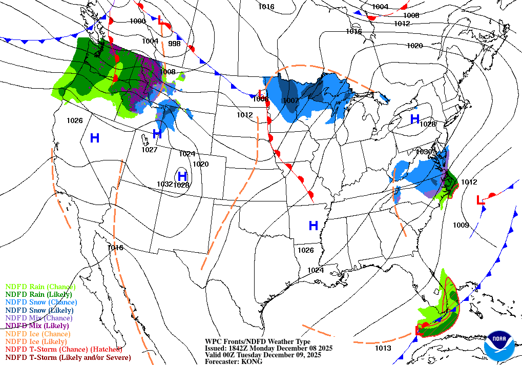
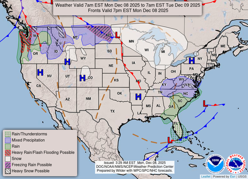
Coastal Waters Forecast
National Weather Service Baltimore MD/Washington DC
FOR THE TIDAL POTOMAC AND MD PORTION OF THE CHESAPEAKE BAY.
Tidal Potomac River and Maryland portion of Chesapeake Bay. Forecasts of wave heights do not include effects of wind direction relative to tidal currents. Expect higher waves when winds are blowing against the tidal flow. Waves flat where waters are iced over. A strong area of Canadian high pressure will build over the region tonight into Tuesday. A clipper-like system moves through the area by mid-week before a secondary cold front crosses the waters on Thursday. Weak high pressure returns by Friday. Small Craft Advisories will likely be needed Tuesday evening through Thursday, and potentially again late Friday.
SMALL CRAFT ADVISORY IN EFFECT UNTIL 6 PM EST THIS EVENING
SMALL CRAFT ADVISORY IN EFFECT UNTIL 6 PM EST THIS EVENING
SMALL CRAFT ADVISORY IN EFFECT THROUGH LATE TONIGHT
SMALL CRAFT ADVISORY IN EFFECT UNTIL 6 PM EST THIS EVENING
SMALL CRAFT ADVISORY IN EFFECT UNTIL 6 PM EST THIS EVENING
SMALL CRAFT ADVISORY IN EFFECT UNTIL 6 PM EST THIS EVENING
SMALL CRAFT ADVISORY IN EFFECT UNTIL 6 PM EST THIS EVENING
SMALL CRAFT ADVISORY IN EFFECT THROUGH LATE TONIGHT
SMALL CRAFT ADVISORY IN EFFECT THROUGH LATE TONIGHT
SMALL CRAFT ADVISORY IN EFFECT THROUGH LATE TONIGHT
SMALL CRAFT ADVISORY IN EFFECT THROUGH LATE TONIGHT
SMALL CRAFT ADVISORY IN EFFECT THROUGH LATE TONIGHT
SMALL CRAFT ADVISORY IN EFFECT THROUGH LATE TONIGHT
SMALL CRAFT ADVISORY IN EFFECT THROUGH LATE TONIGHT
Oilrig
NWS
Buoy
Fixed Station
USGS
Ship
Other
Search Results
